Training: Four Bow Valley Peaks to Run Up Before Lunch
The Bow Valley runs from Yamnuska to Lake Louise along the Bow River. There are a countless hikes and scrambles that branch off from the Trans-Canada Highway.
Some lead to the base of rock climbs and others to the tops of mountains. The following four are often done in a few hours car to car by experienced climbers.
These hikes are great for a rest day or to get the blood pumping before cragging.
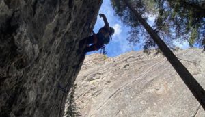
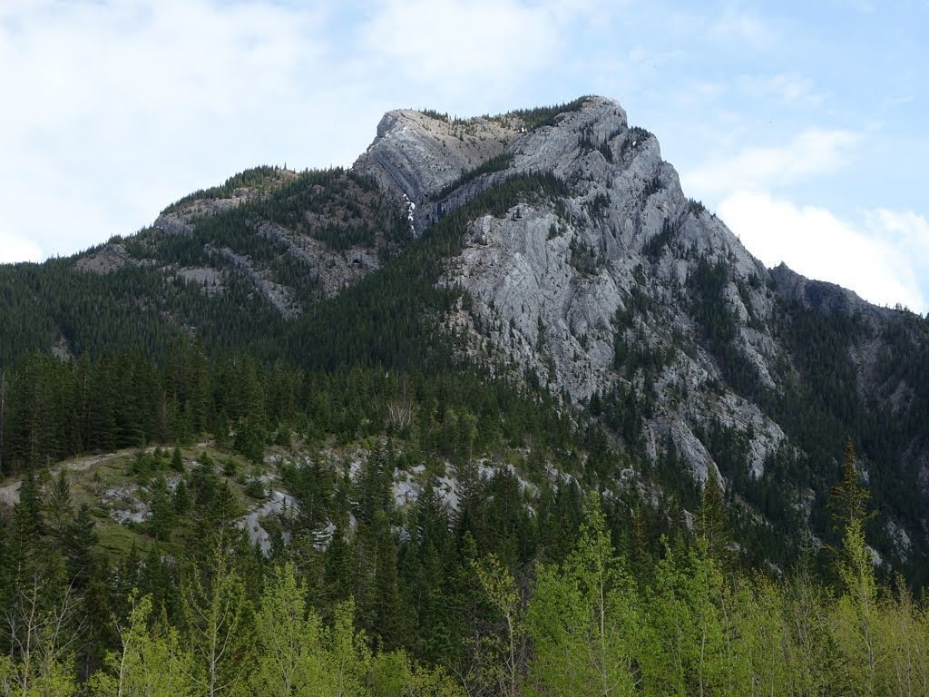
Yamnuska: One of the Rockies most iconic rock climbing areas is also one of Alberta’s most popular hikes. The big parking lot can be overflowing with hundreds of cars on busy fall days.
Between weekends, the hiking trail can be quiet and makes for a great training circuit over 11 km with 900 metres elevation gain.
From the parking lot, take the trail to the fork at the top of a steep hill and then take the hiker’s trail east. The trail winds up to the long shoulder that leads to the eastern edge of Yamnuska.
Follow the trail switchbacking up the back of the mountain to a steep section with fixed chains. Past the chains, you reach the summit and then head down the west slope to loop back around to the south side beneath the wall with over 100 routes up to 350 metres. Follow the trail along the base of the wall to the top of a scree slope with a number of lines down.
Scree-surf down the slope or head back across to the top of the hiker’s trail. It has been done care to care in just over an hour and can be done comfortably before lunch.
Note: The trail can be slippery and muddy. Don’t underestimate the technical difficulties and bring a few layers, as the wind can be cold in the fall. For more trail info visit here.
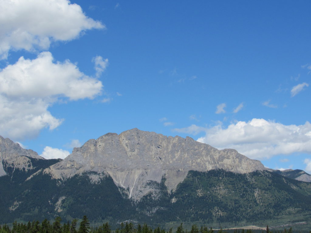
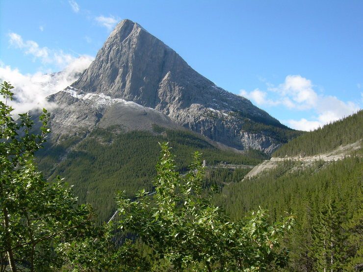
Heart Mountain Horseshoe: A classic close-to-the-road steep hike up an esthetic peak that can be seen from the town of Exshaw. You gain over 900 metres and if you complete the horseshoe you travel 11 kilometres. Park at the Heart Creek parking area about 15 minutes east of Canmore.
Hike along the trail parallel to the highway and then cross the creek and find the signed start to the trail. The scramble is simple to follow, up the switchbacks and steep slabs. About three-quarters of the way, climb a short step of rock and head to the top.
A number of false summits take you to the proper top. From there, follow the trail east and then north back towards the highway. It can be comfortably down in a few hours car to car.
Note: Heart Mountain does not get much snow until winter, but the trail can ice up on cool days. Deep snow drifts in the spring help cool the legs. More info on the trail here.
Ha Ling: Canmore’s popular multi-pitch wall with a number of classic routes has a fun trail on the south side.
The hiking trail can see hundreds of ascents on busy weekends, but during the week there are often less than a dozen people at a time. The trail is narrow with steep sections but is considered easy. It doubles as the descent trail for all rock routes up the north face.
Round-trip is six kilometres and you gain 700 metres from the car. Park at the Goat Creek parking area at the top of the big hill south of Canmore.
Cross a bridge over a man-made river and find the trail in the forest. Up a switchback with stairs and onto the steep trail that angles up left and right.
At the tree line, find the best trail up the scree that leads to the southeast ridge. Up the ridge, staying away from any cornice, will get you to the summit.
Bolts on top mark the end of Sisyphus Summits, a 600-metre 5.10d sport route. Head back down the trail to the car. This trail can be done to the summit from the car in under 90 minutes. A popular pre-lunch hike.
Note: It is often cold and windy near the summit, bring the appropriate layers. More info here.
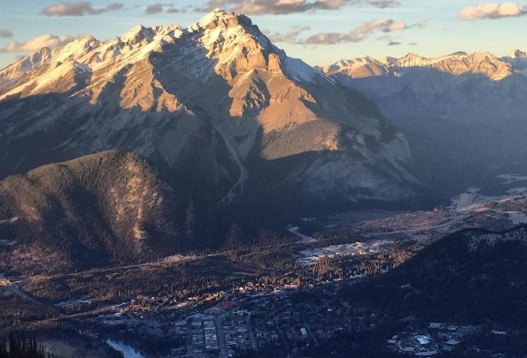
Sulphur Mountain: The must-hike mountain that was climbed by Norman Sanson over 1,000 times over 100 years ago. Sanson worked in the observatory on the mountain’s highest peak now named Sanson’s Peak.
The best part of Sulphur Mountain is the gondola station at the top. After hiking 5.5 kilometres up the 650-metre mountain slope, you can take a free ride back to the base.
The most Euro gondola experience in Banff Park. There are short ice routes and rock climbs near the summit station.
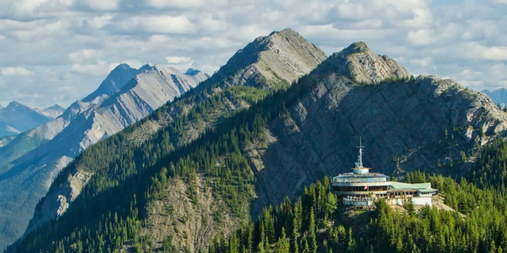
From the upper parking area at the gondola parking, hike up the steep trail to gain the switchbacks. The path is not steep until the last 100 metres.
It is often icy around the corners, but is kicked out early after snow fall. From the top station, you can take the boardwalk to the top of Sanson’s Peak for views of Mount Louis, Cascade Mountain and down the Bow Valley.
Note: Park pass required if doing any activity in Banff Park. Often a 1.5 hour car-to-car trip with the gondola down. More trail info here.
Check out the latest buyer's guide: